Interactive map of this section


Lios Poil
Food and Beverage
Keane's Shop
O'Sullivan's Bar
Toilets
O'Sullivans Bar
Post Office
Bus Details (Local Link)
click more information.


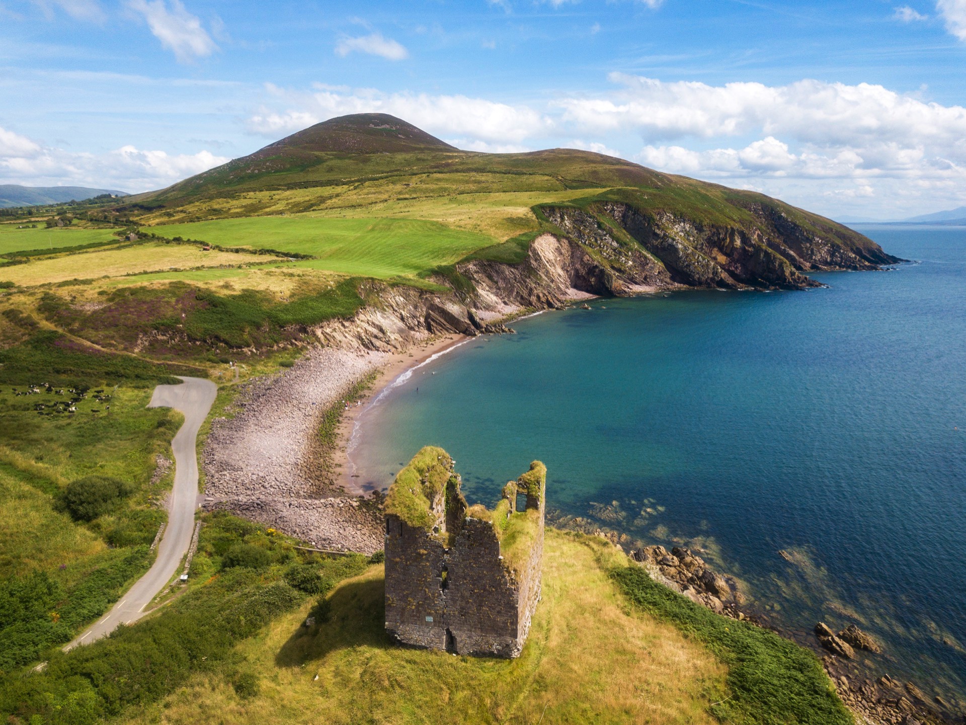
Minard Castle

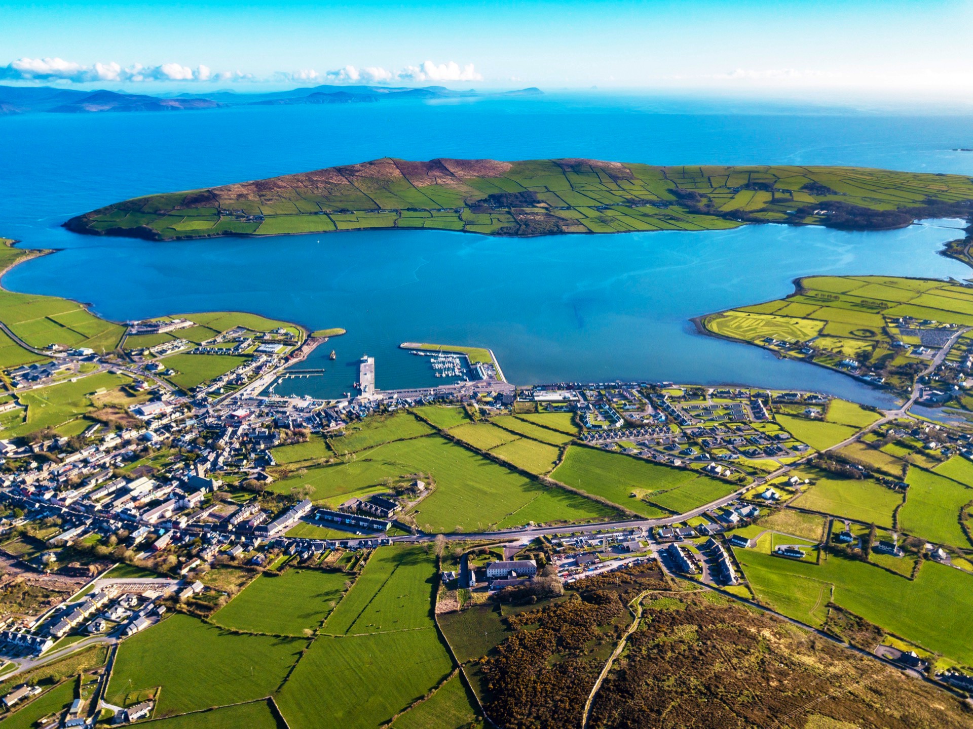
Dingle
Food and Beverage
https://www.dingle-peninsula.ie/
Accommodation
https://www.dingle-peninsula.ie/
Toilets
Public Toliets at the marina
Bus Details (Local Link)
click more information.

Anascaul
Annascaul, located on the Dingle Peninsula in County Kerry, is a charming village known for its stunning scenery, rich history, and connection to Antarctic explorer Tom Crean. It's a haven for walkers with numerous trails, including the Dingle Way and the Tom Crean Trail, and is surrounded by mountains, lakes, and the sea. The village also boasts a vibrant artisan community and welcoming pubs, making it a great base for exploring the Dingle Peninsula.
Bus Details (Local Link)
click more information.
Description
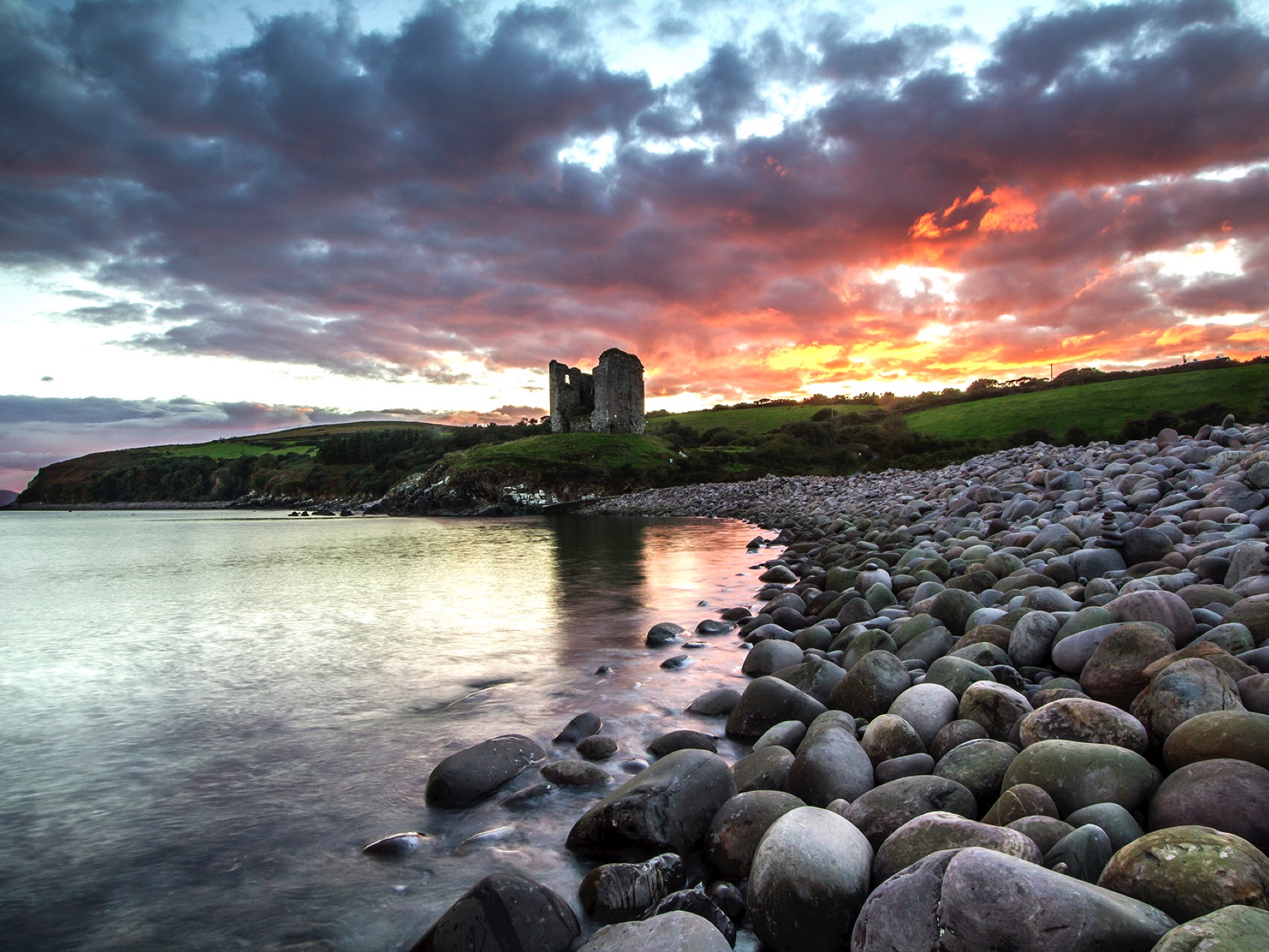
Leaving Anascaul, home of Antarctic explorer Tom Crean (1877-1938) and the renowned sculptor Jerome Connor (1874-1943), the Dingle Way briefly joins the busy Tralee-Dingle road (N86) before finding a quieter road that twists and turns for a little over 4km before finally descending to sea level beside the magnificent ruin of the 16th century Minard Castle, a tower house built by the Fitzgeralds, Knights of Kerry, to protect them against Cromwellian forces. Take a break here at this lonely beach and take in the views across Dingle Bay towards the Iveragh Peninsula. If you have time visit the local holy well, just west of the Castle, which is named in honour of John the Baptist.
Leaving the strand, the Dingle Way rises steeply up a narrow path and goes on to follow some classic Irish boreens and minor roads that weave around the surrounding farmland for the next 6km. Before crossing the N86 road at Lios Póil you will have sight of the remains of the Lispole Railway Viaduct built in 1934 and which formed part of the Tralee-Dingle Railway which operated from 1893 to 1953.
The trail heads north in the direction of Croaghskearda Mountain (608m) on a minor road for a few kms before cutting across farmland and rising onto the lower mountain slopes through Lios Deargáin, where you can see the remains of an old fort which christened the townland. This part of the Dingle Way lasts for around 5km and can get quite mucky.
A bridge crossing the Garfinny River sees the Dingle Way realigning itself in a south-westerly direction and heading straight for the town of Dingle. The trail traverses the Conor Pass road, a popular tourist route. Nestled below you is the town of Dingle and across the harbour, among the trees, Burnham House, one time residence of Lord Ventry.
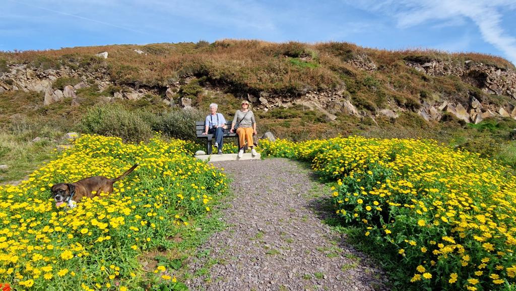
Route Images