Plan your Walk
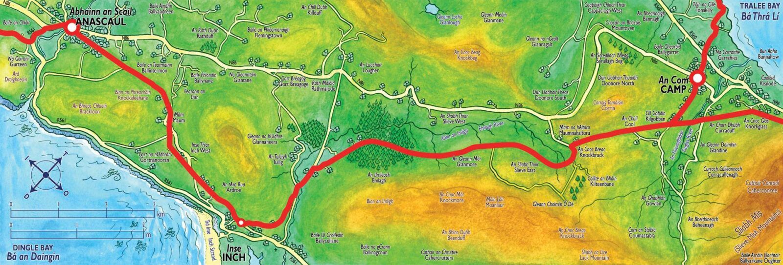
Camp - Annascaul
An Com - Abhainn an Scáil
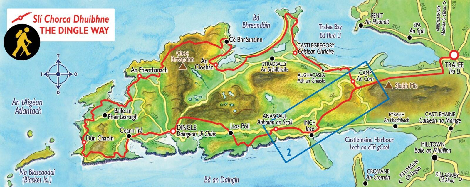
Interactive map of this section
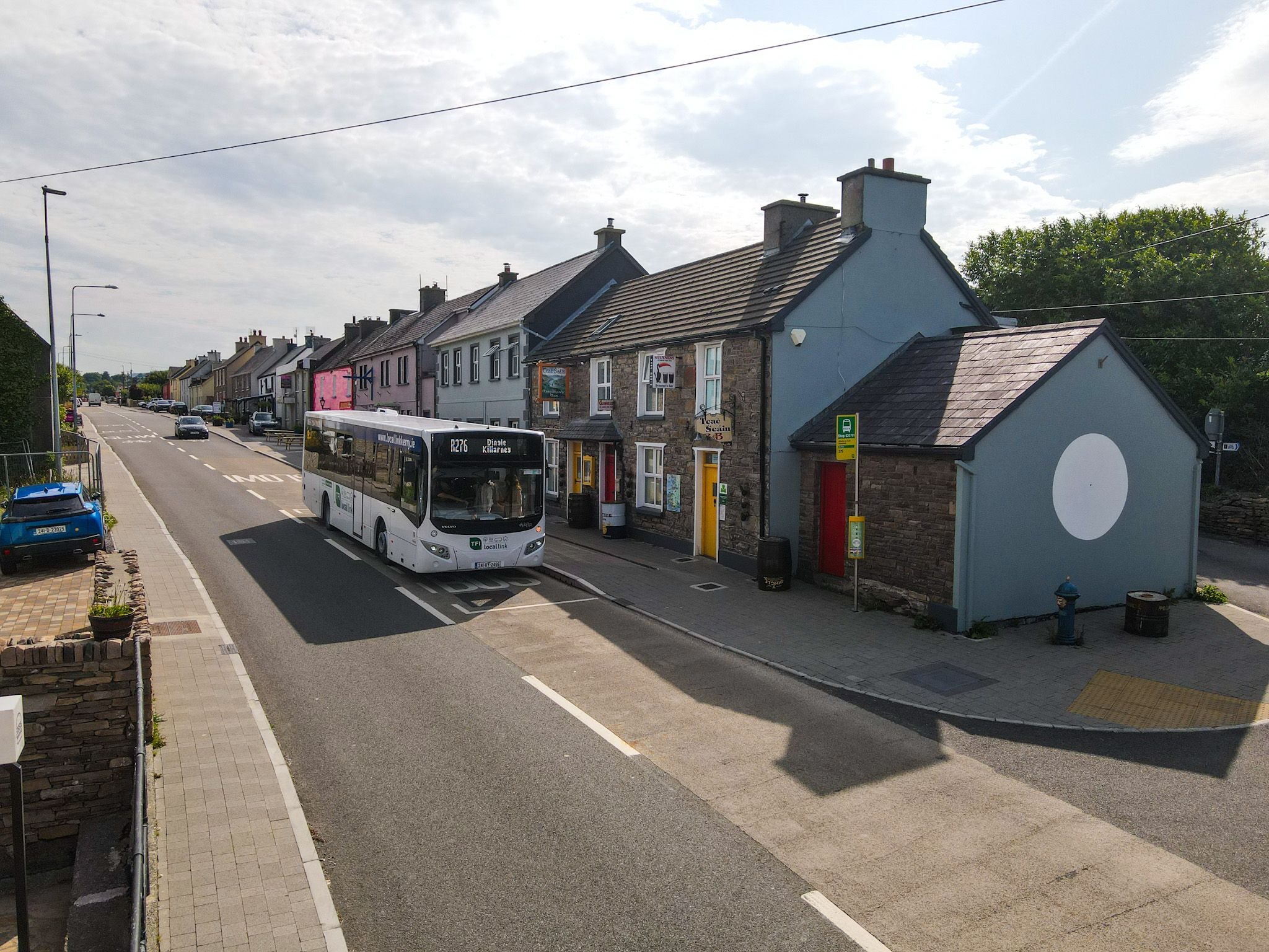
Anascaul
Food and Beverage
South Pole Inn
Brosnans Bar
Aidos Cafe
Bainin Cafe
Sailors Catch Takeaway
Parcheenos Bar
Dan Foleys Bar
Accommodation
Teac Seain B&B
Anascaul House
Ardrinane House
Brackloon Lodge
Toilets
Bainin Cafe
Dan Foleys
South Pole Inn
Parcheenos Bar
Bus Details (Local Link)
click more information.
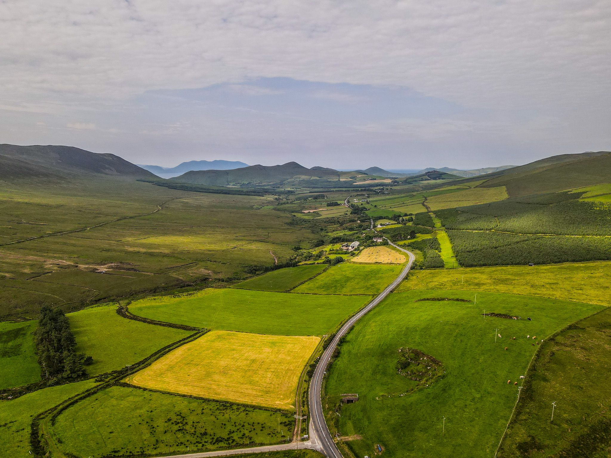
Camp Upper
Food and Beverage
Ashes Bar
Annes Cafe
Top Oil service station
Accommodation
Glamping Pods Ashes
Toilets
Ashes Bar
Annes Cafe
Top Oil service station
Bus Details (Local Link)
click more information.
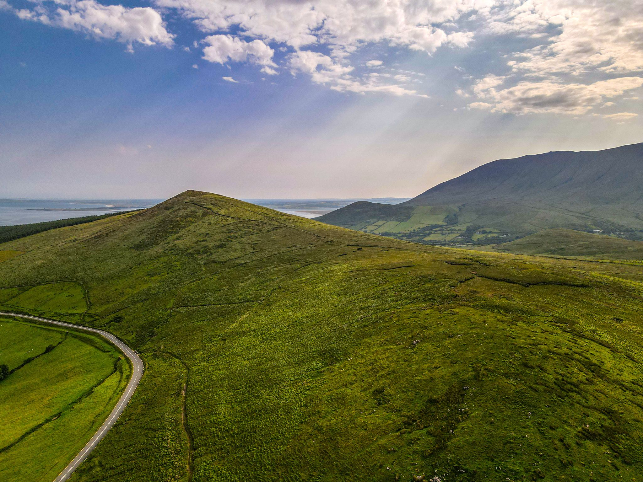
Caherconree
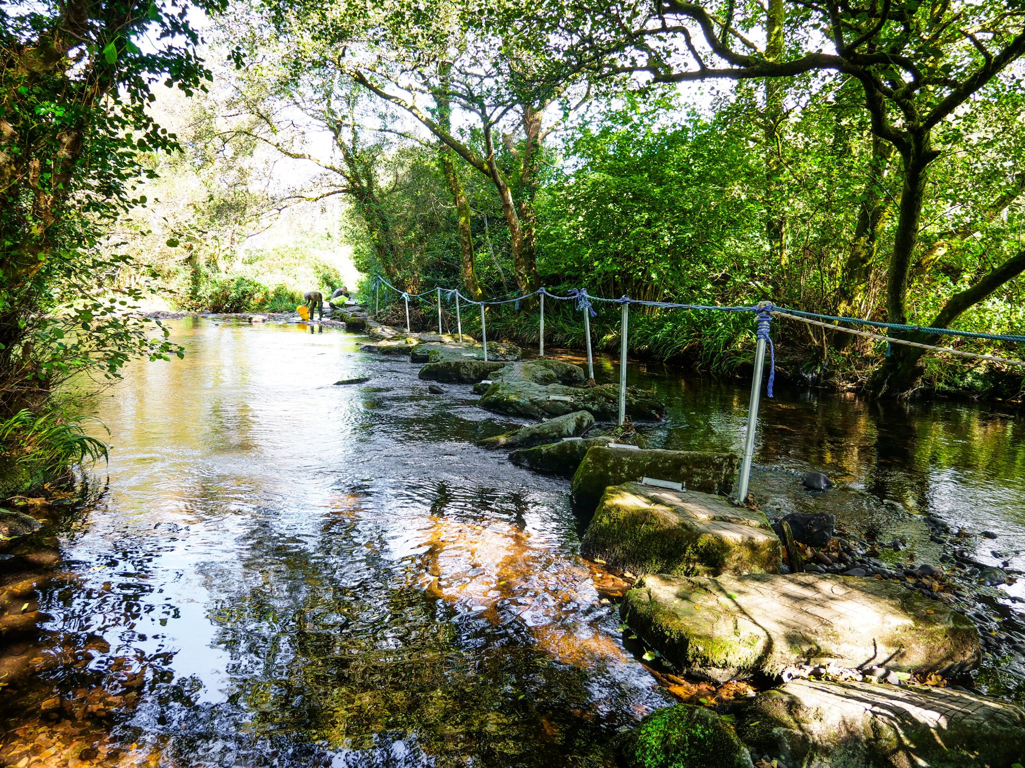
Camp River Crossing
Camp is a village on the Dingle Peninsula known for its natural beauty and coastal location. The village offers stunning views of Mount Brandon, Tralee Bay, and Kerry Head. It is a popular stop on the Dingle Way, with a section of the trail passing through Camp, highlighting the old railway viaduct at Curraduff where it crosses the river Finglas. Camp is also close to numerous beaches, making it a great base for exploring the northern coast of the peninsula.
Bus Details (Local Link)
click more information.
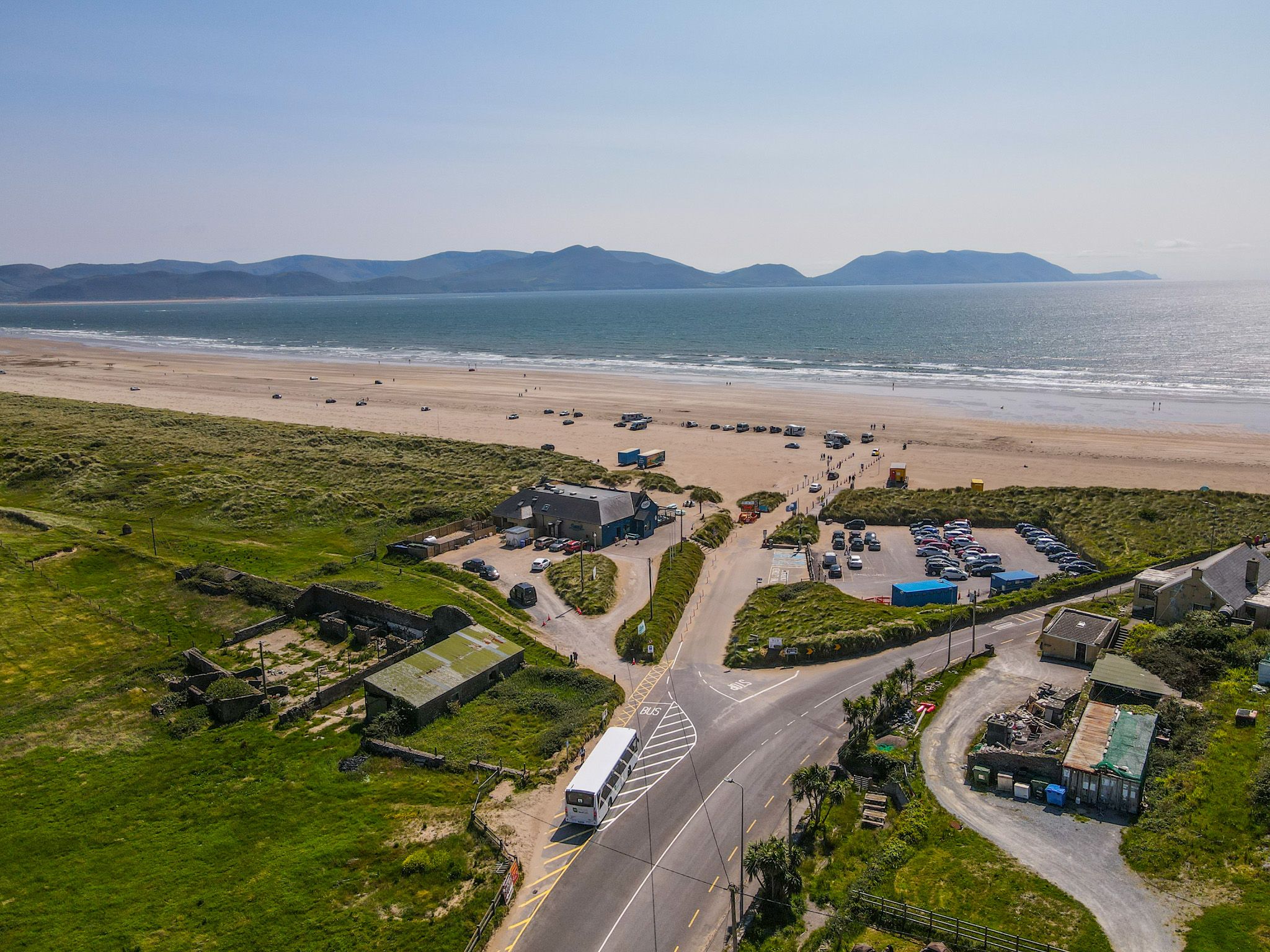
Inch Beach
Food and Beverage
Foleys Bar
Sammys Cafe
Beach Shop
Toilets
Beach public toilets
Accommodation
Inch Beach House B&B
Campsite
Bus Details (Local Link)
click more information.
Description
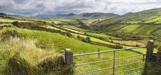
Walking up the old hedge lined road from the intersection south of Camp you come up over the western side of the Slieve Mish Mountains. Soon take a left at a fork in the road and follow it around the upper Emlagh River valley. All around you here you will see signs of peat being cut for fuel. Carry on for 4km going through a small wooded area descending to a junction where you go left. Vehicles use this road so take care.
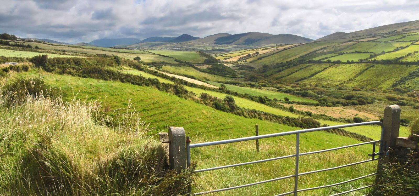
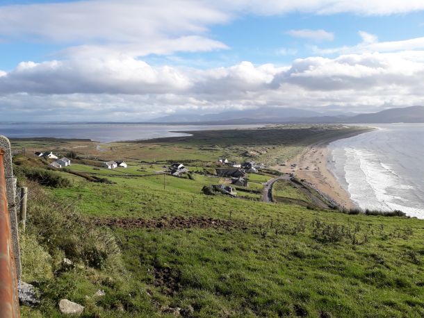
About 400m cross the Emlagh Rover Bridge and after another 100m cross the road and take the track up the hill on your right as directed. Pass through a gate and climb a little following a small bohreen, and then descend again passing through another gate. The view out in front of you of Inch strand and spit are breathtaking. Join a narrow path, which may be boggy, and follow on and climb a stile where you follow the path for 60m and then turns into a vehicle track continuing in the same direction.
The Way follows an ascending track for a few hundred meters and suddenly descends to a tarmac road. Follow this road for 200m and as this turns into a bohreen keep following, climbing gradually. Cross a stile about 300m further along the Way and then go through a gate.
