Interactive map of this section


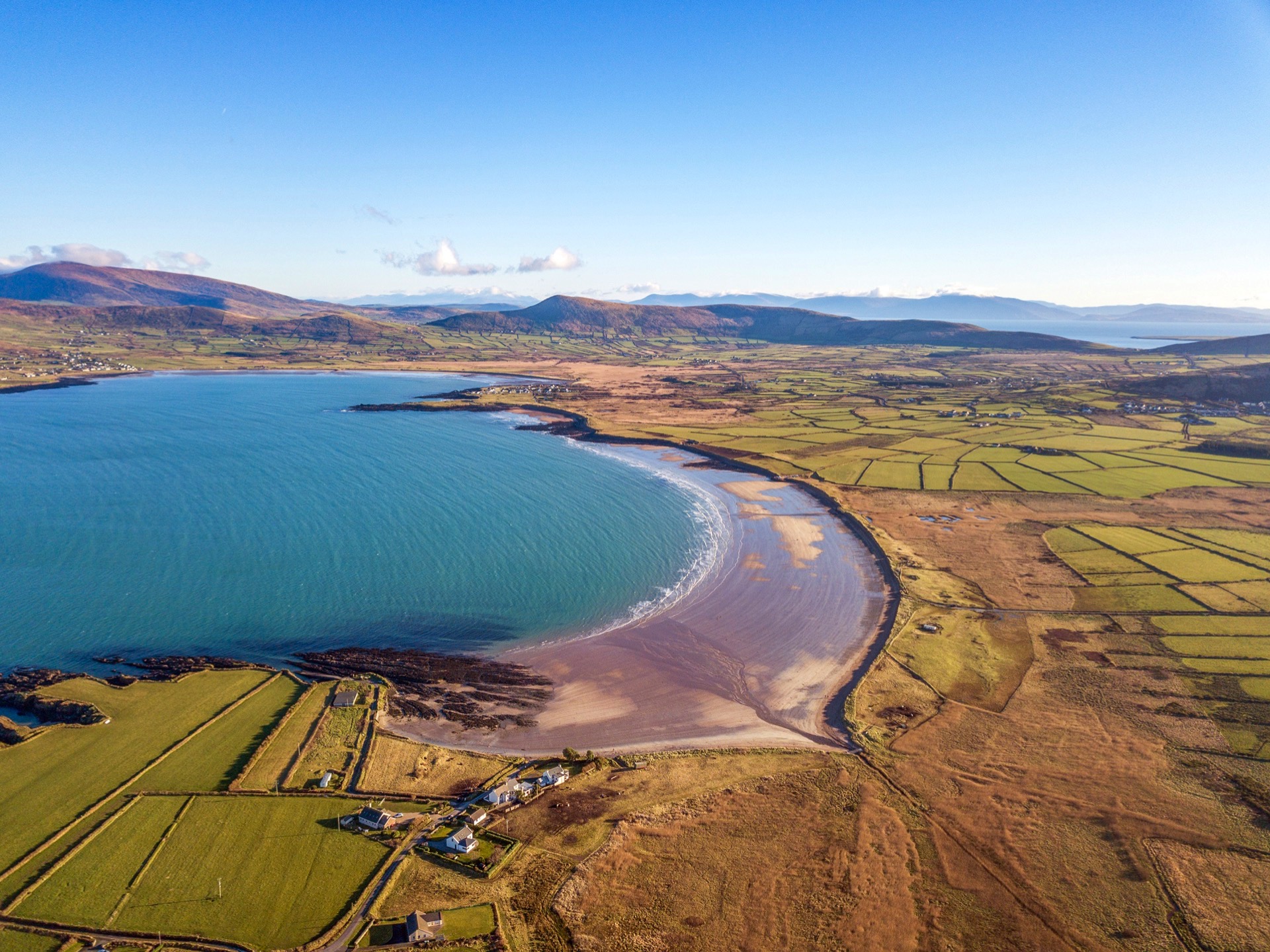
Brandon Bay
Food and Beverage
Murphys Bar
Mullaly's Bar
Toilets
Murphys Bar
Mullaly's Bar
Bus Details (Local Link)
click more information.

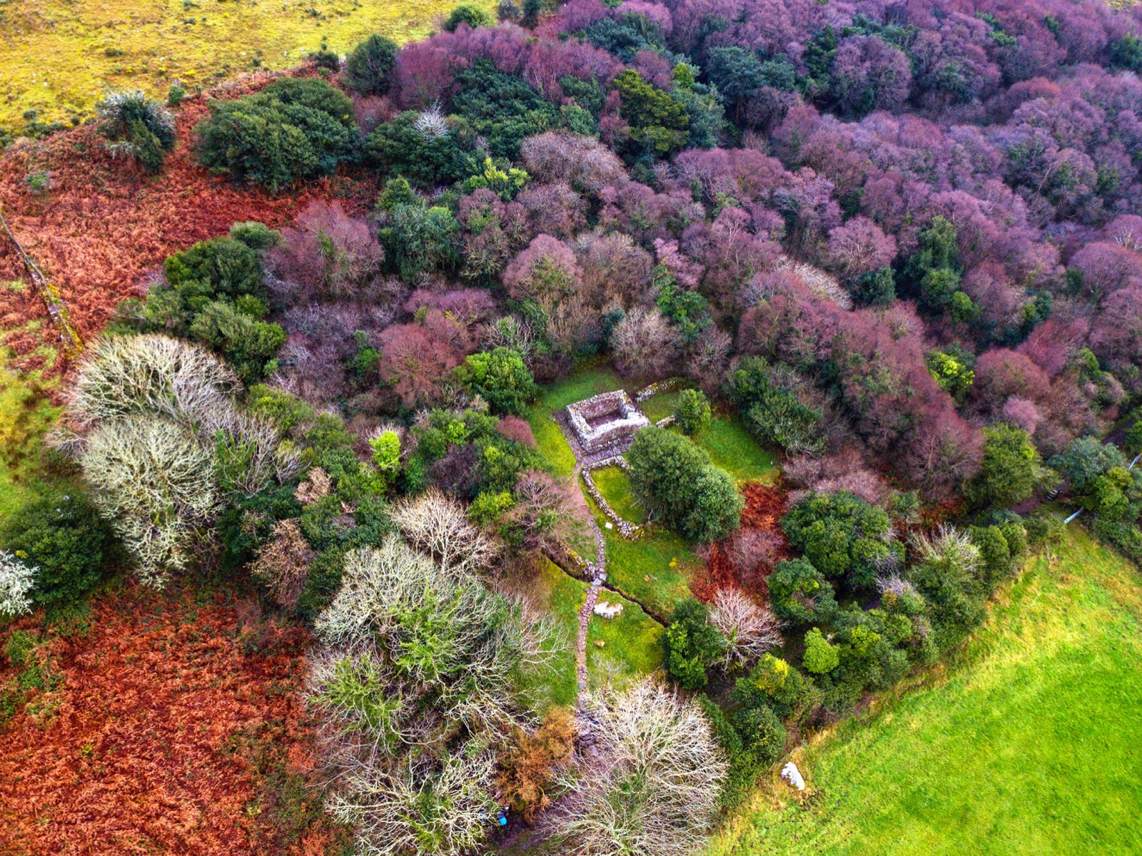
Fermoyle House
Fermoyle House in County Kerry is a historic dwelling with a rich past, particularly linked to the Hickson family who resided there for generations. It is situated near Cloghane on the scenic Dingle Peninsula, offering beautiful views of Brandon Bay. The house has seen various renovations and adaptations over time, including its use during the filming of "Ryan's Daughter". Today, it stands as a charming and potentially valuable property, offering a blend of historical charm and modern convenience.

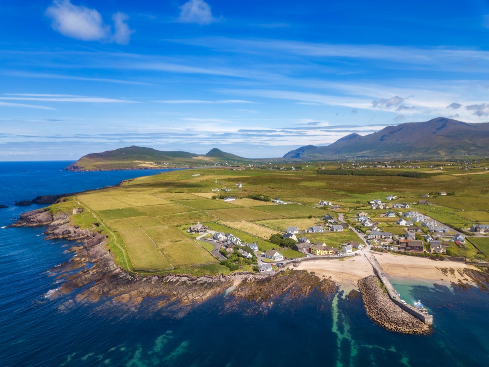
An Clochán
Food and Beverage
O'Connors Bar
Shop- Siopa an Phobail
Toilets
O'Connors Bar
Acommodation
O'Connors Guest House
O'Connors Camping
Mount Brandon Lodge
Mount Brandon Hostel
Bus Detail (Local Link)
click more information.

Brandon Creek
Brandon Creek is a picturesque village on the Dingle Peninsula in County Kerry, Ireland. It is renowned as the legendary departure point of St. Brendan's voyage to the 'Heavenly Isles' in the 6th century. In 1976, adventurer Tim Severin embarked on a journey from this spot to demonstrate the feasibility of St. Brendan's voyage. The area offers dramatic coastal views, making it a popular spot for hiking and wild swimming. Nearby, the village of Cloghane provides additional amenities and access to the renowned Mount Brandon, the highest peak outside the MacGillycuddy Reeks range, offering challenging hikes and panoramic vistas.
Description
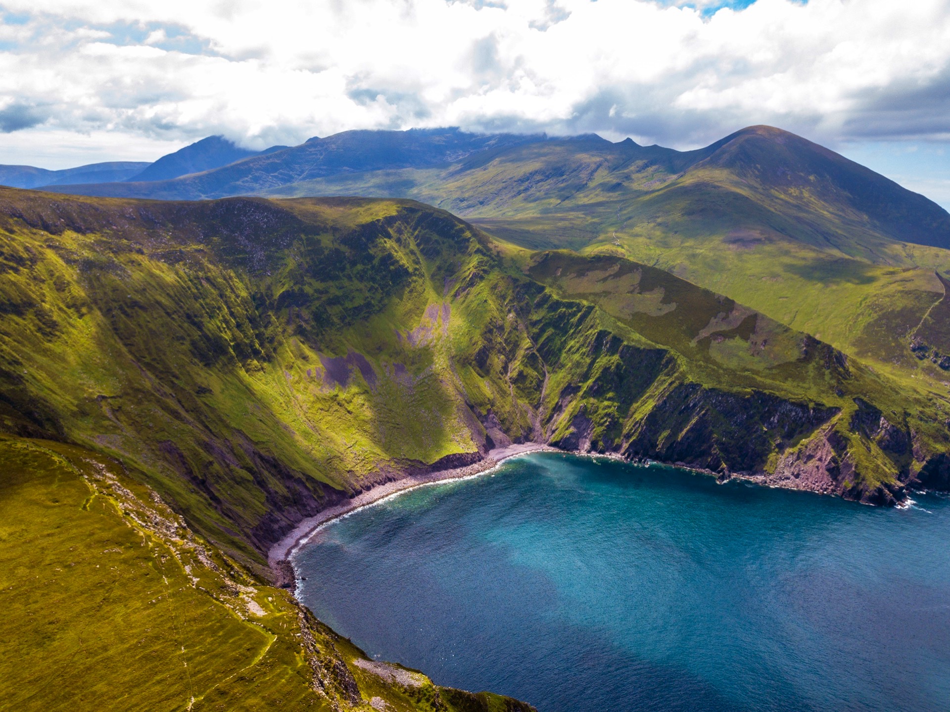
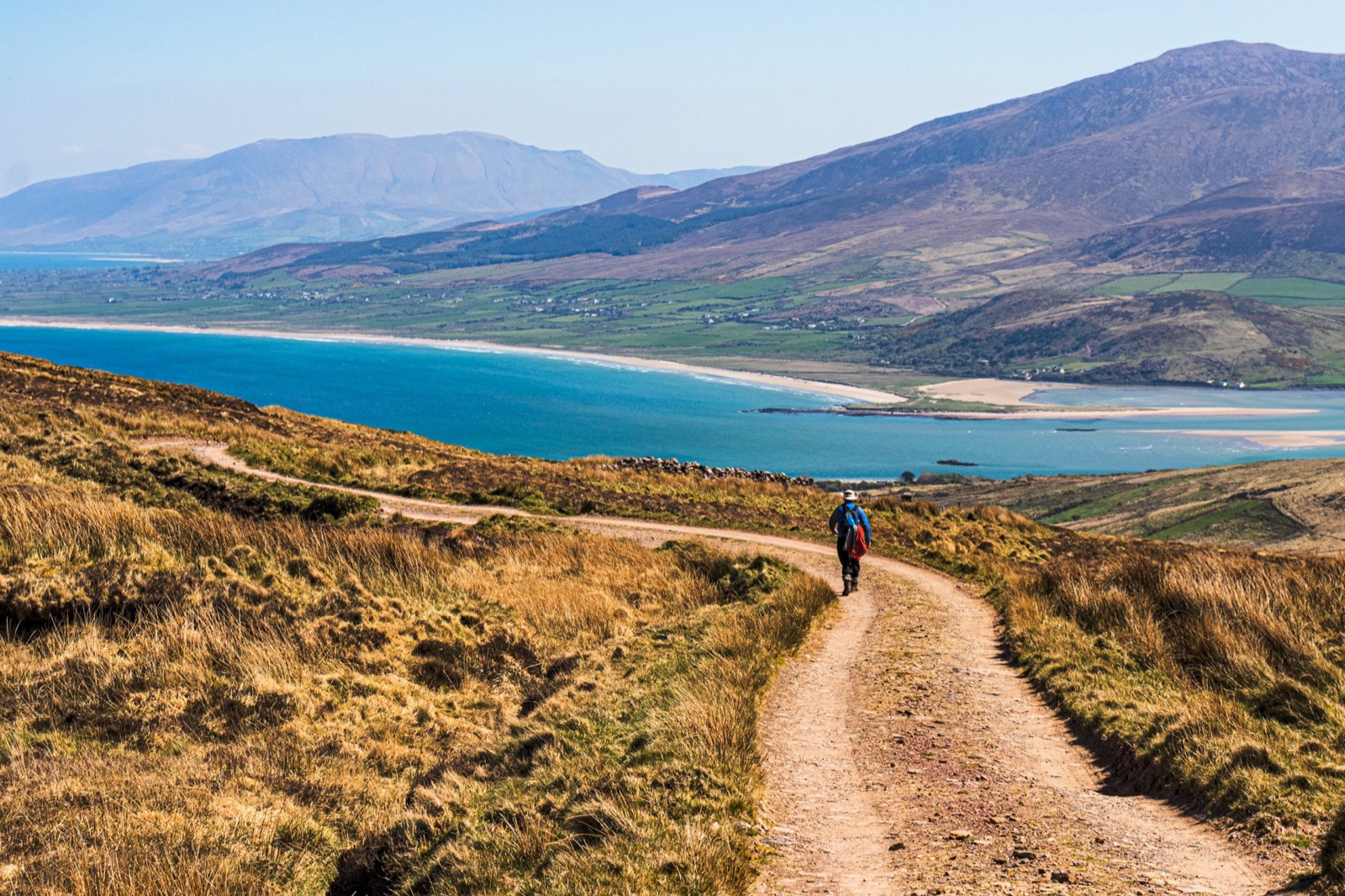
This is the most challenging part of the Dingle Way and sees it reaching its highest point. If weather conditions are poor and visibility is bad then serious consideration should be given to finding an alternative method of transport to reach Cloghane.
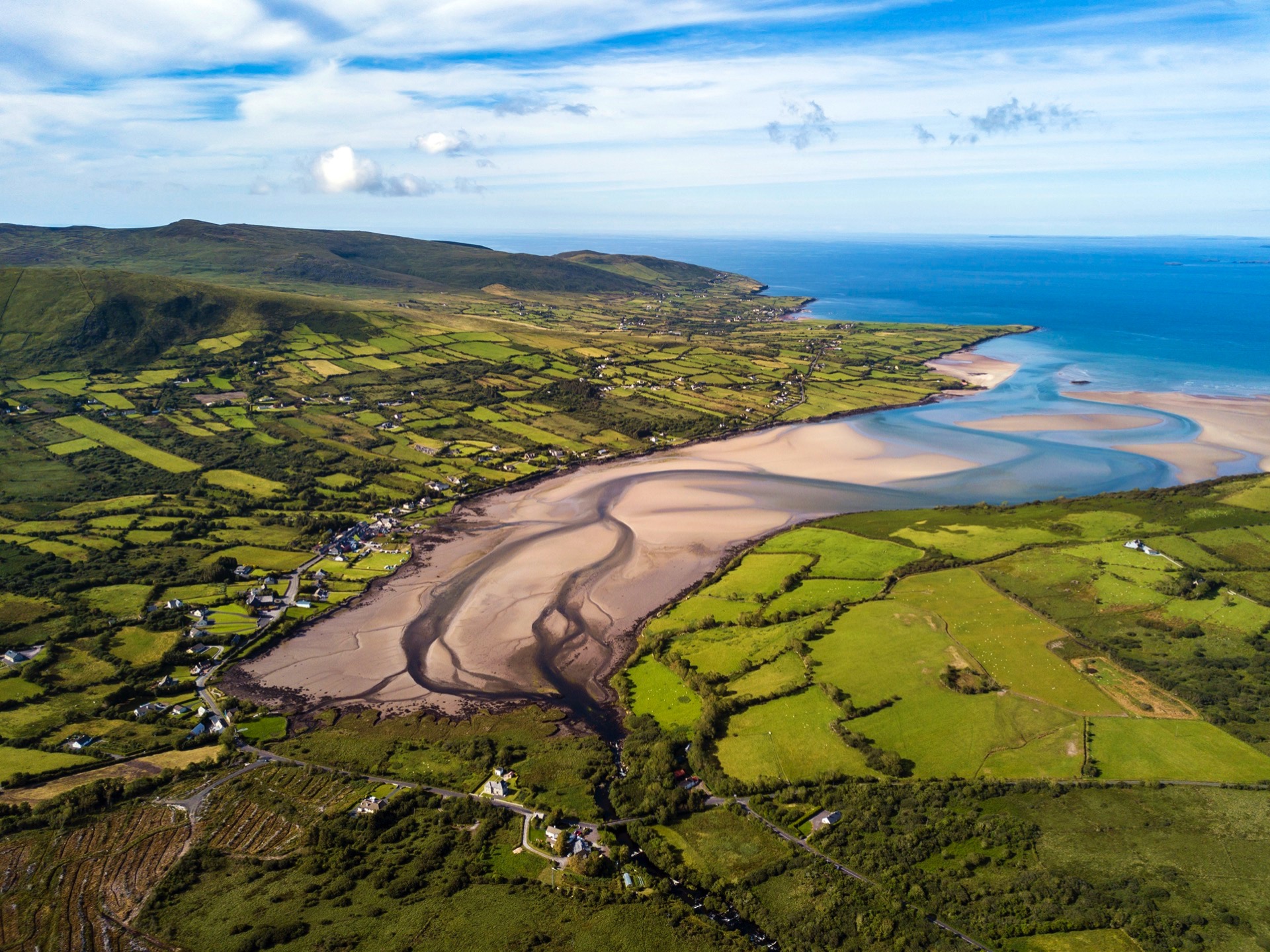
Leaving Feothanach, the Dingle Way follows the main road, turning left at the local school house and community hall before turning right down an old road that leads the trail in a north-easterly direction for a few kms before bringing you back onto the road again at a crossroads. Close by, past the pub, on the right in Baile na bhFionnúrach is Cathair na bhFionnúrach, an early medieval cashel, which has been excavated and is now open to the public. Below you to the left is Brandon Creek which, as tradition has it, St. Brendan, together with 14 monks, is said to have set sail in 535 A.D. – legend has it that they sailed all the way to North America.

At the crossroads head on straight, following the waymarkers, and at the Tjunction take a left. Walk on this way until the roads natural end which will guide you right and up the mountain.The long stiff climb up the sacred mountain begins and if the weather is clear you can view the site at Fothar na Manach, an ancient field system cultivated by hermits. Continue up the shoulder of Brandon where the trail rounds the saddle between Más an Tiompáin (763m) and Piaras Mór (748m). An ancient marker ogham stone with an inscribed cross can be found here. Turn around and take in the panaroma of views from Brandon to the Blaskets to the west and equally spectacular aerial views of Tralee Bay, Magharees and the Slieve Mish Range to the east, weather permitting of course!
There is a sharp severe descent after the Ogham Stone and it may be wise to zig zag in wet weather. The use of walking sticks is well-advised for this section. A stretch of around 2km sees a gravel path greet the trail. Yellow waymarkers give way to white arrows along this stretch to help in case of mist or fog at the top. Please ensure you have checked the weather for the day you are climbing this section as it is very easy to get lost and it is quite dangerous as there is a 450-metre drop into the sea at one point.
Below and around the townland of Arraglen the strewn boulder field remnant of a glaciated valley can be seen. In the mid foreground you may be able to make out Sás Creek, a sheer north-facing glaciated bowl.
Having descended the mountain, and after about 300m the Way turns left, which brings you to the pier at Brandon. The final stage of this section sees the Dingle Way leaving the pier at Brandon and heading south-west across lanes for just over 6km before finally making it to the nice friendly village of Cloghane, which boasts a number of pubs, shops, a church and a school.
Route Images