Description

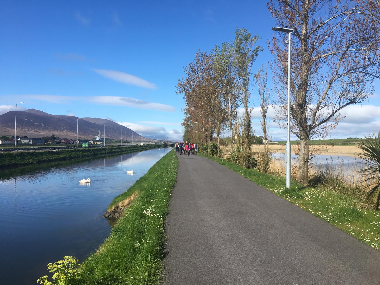
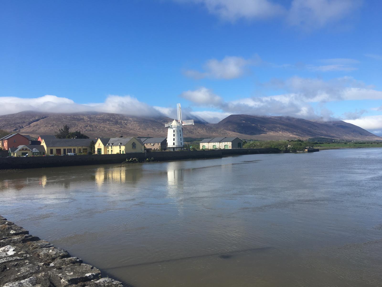
Welcome to the Dingle Way which starts and ends at the Kerry County Museum in Tralee. From the western side of the building walk through the car park and follow the signs for Blennerville. This brings you along the canal walk for 1.6km where you then take a left and head over the bridge, over the River Lee. You will pass by Blennerville Windmill which is the largest working windmill in the British Isles, built around 1800 was only in use for a number of decades until its restoration in the 1980’s. 200m after the windmill cross the main road (N86) and follow a minor road heading east (signposted Dingle Way). Take a right after 300m and continue south to a junction where you take another right for 800m to another junction. Here you take a left and ascend for 1.3km as far as a sharp bend at a river bridge.

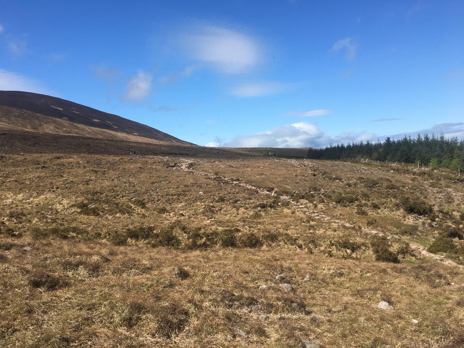
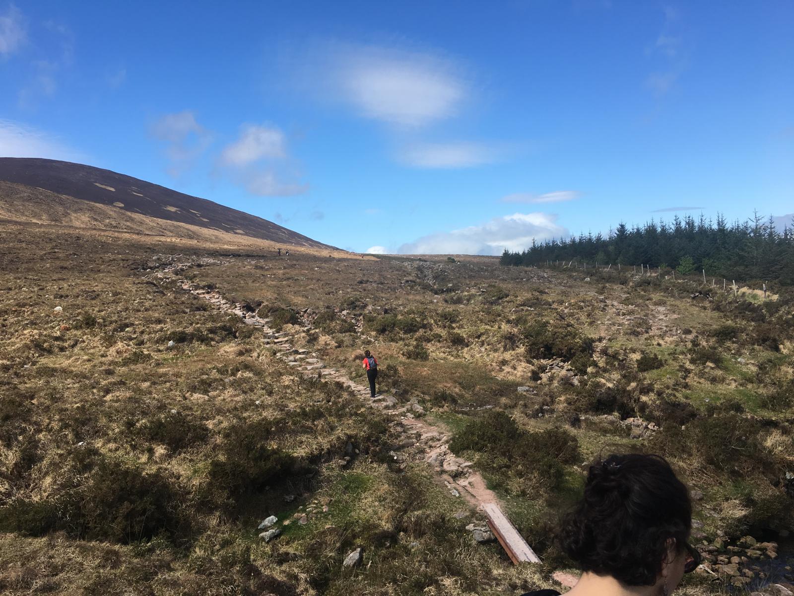
Go through the gate on the right before the bridge, closing the gate after you, and follow a path – some stepping stones here for wetter conditions. You will come to a noticeboard for the Tonavane Walk, a walk south of the Way after which you will cross three small streams then climb gradually for nearly 2km to cross the Curraheen River. For the next 2.2km the walk rises and falls as far as the Derryquay River Bridge where it then rises, taking a sharp left here you will climb for several hundred meters where the views open up Westwards to you, descend slightly to cross a small stream. Cross two stiles and then the bridge over Derrymore River and uphill through a gate crossing a stretch of railway sleepers and stepping stones – care is needed here as underfoot conditions can be quite dangerous. Follow the Way over slightly rocky terrain to a stile and a bend in the road at Killelton, where the ruins of an old settlement are shrouded in trees and nearby you also see a rectangular stone oratory.
Seven stiles lay ahead of you on the next part of the Way crossing streams until you meet the tarmac road again. Take a right when you reach a fork in the road towards the N86 and to Lower Camp. To keep to the Way, bear left along the track which soon traverses a crest bringing you down and across a minor road – where looking to the right you will see the high arched bridge which once carried the Tralee to Dingle railway.
Cross the road here and walk for 200m dropping down to the river and using the rope handrail and large stepping stones to get across. A grassy track brings you to an intersection where the Dingle Way is signposted in three directions … turn right to follow the Way to reach Camp.
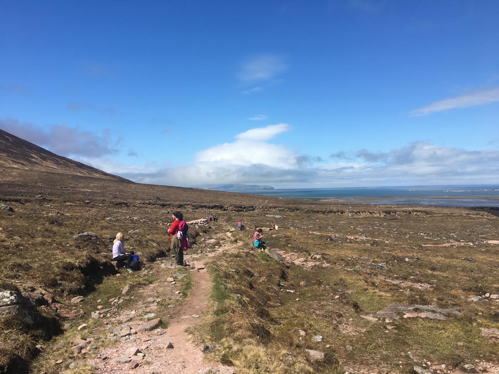
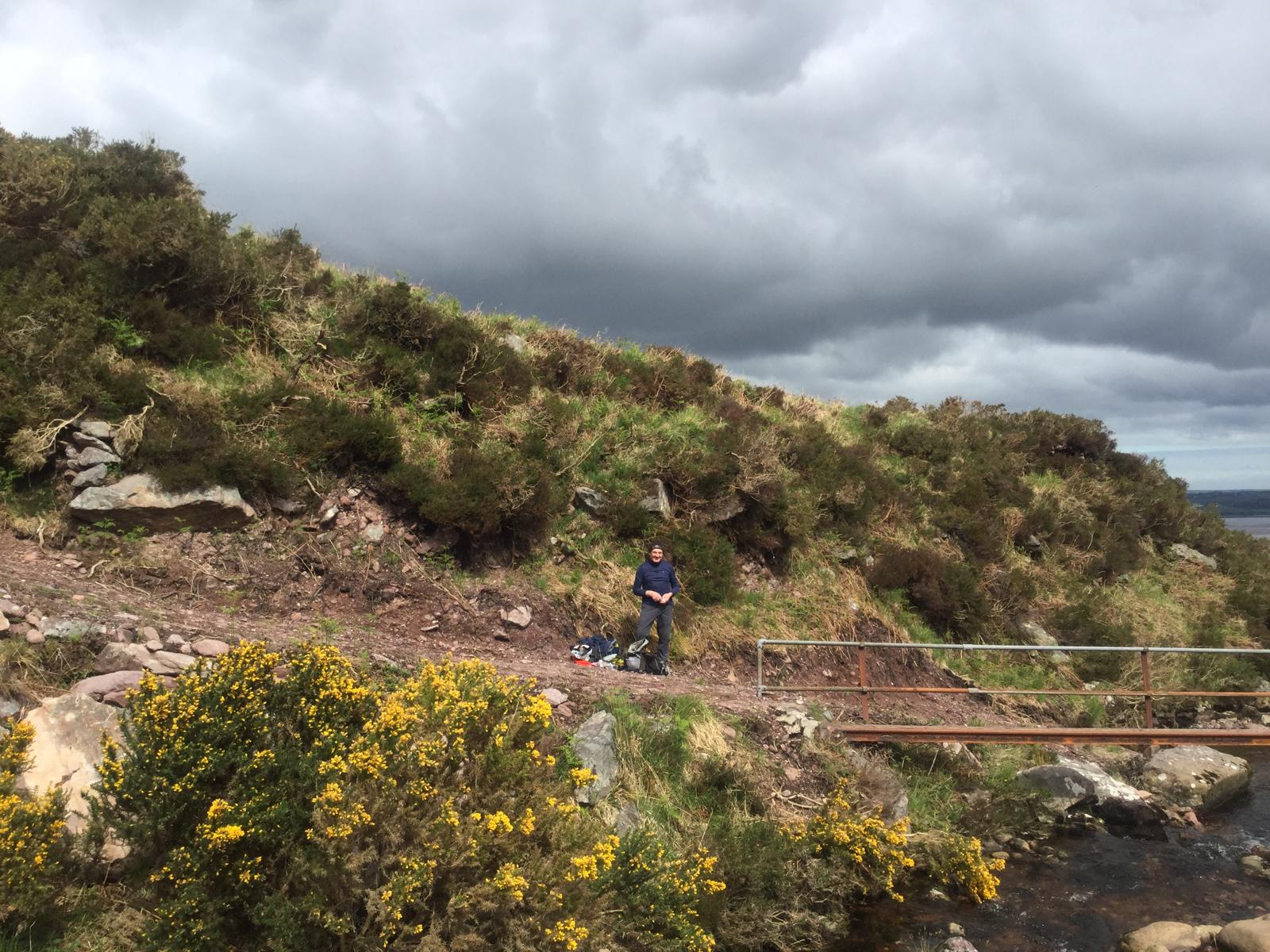
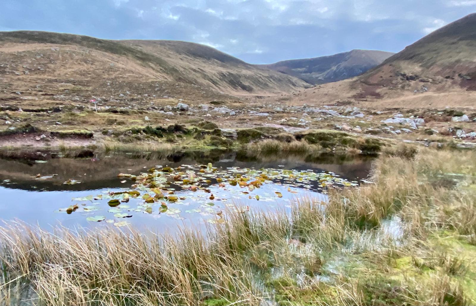
Route Images