Description
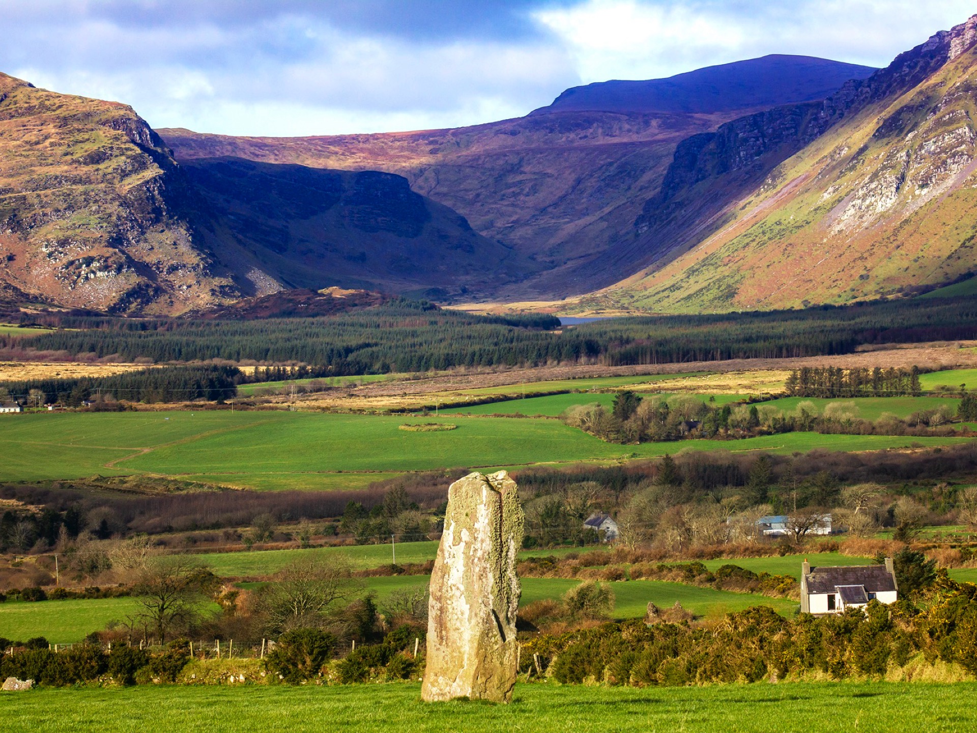
Walking up the old hedge lined road from the intersection south of Camp you come up over the western side of the Slieve Mish Mountains. Soon take a left at a fork in the road and follow it around the upper Emlagh River valley. All around you here you will see signs of peat being cut for fuel. Carry on for 4km going through a small wooded area descending to a junction where you go left. Vehicles use this road so take care.

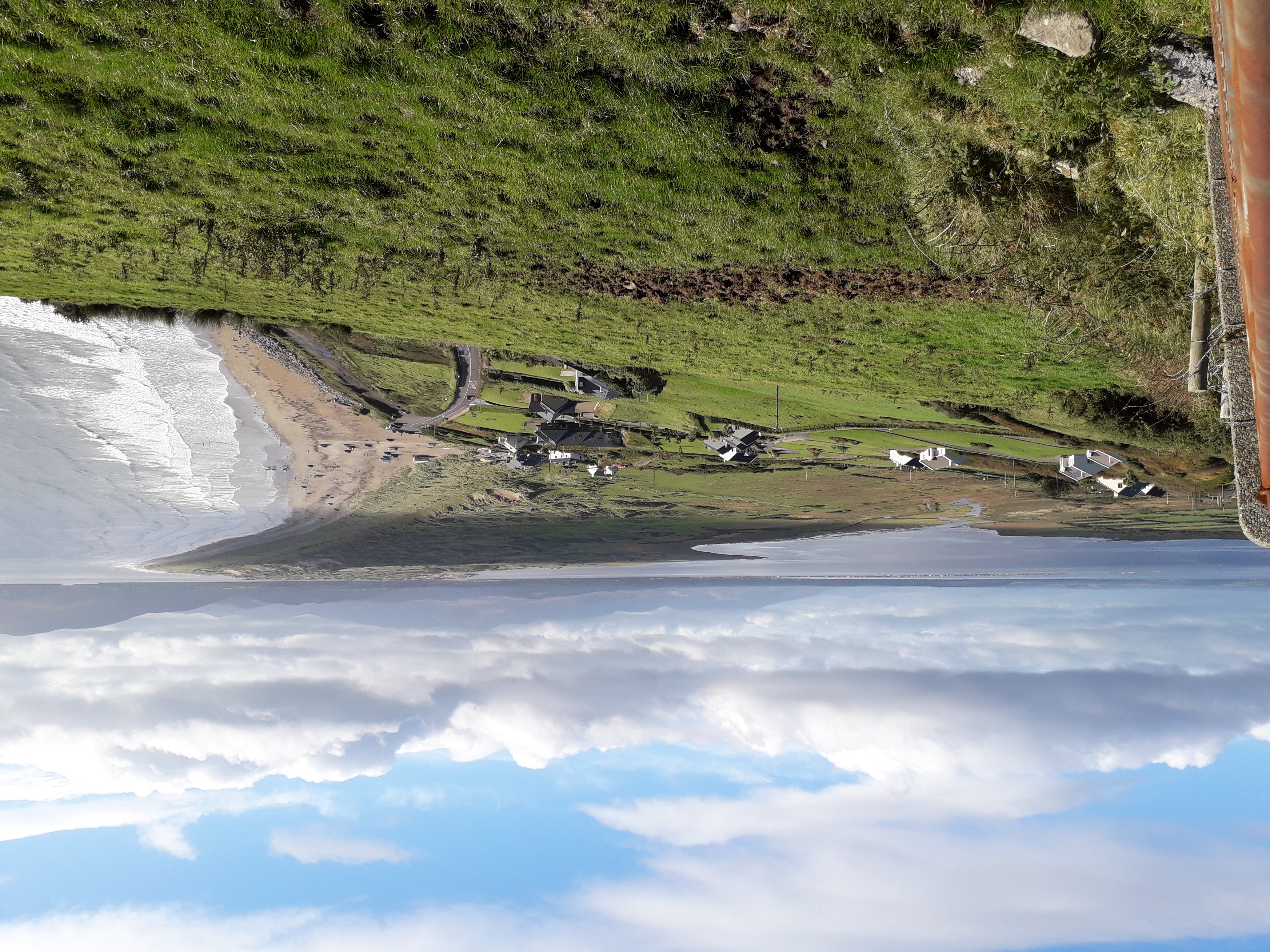
About 400m cross the Emlagh Rover Bridge and after another 100m cross the road and take the track up the hill on your right as directed. Pass through a gate and climb a little following a small bohreen, and then descend again passing through another gate. The view out in front of you of Inch strand and spit are breathtaking. Join a narrow path, which may be boggy, and follow on and climb a stile where you follow the path for 60m and then turns into a vehicle track continuing in the same direction.
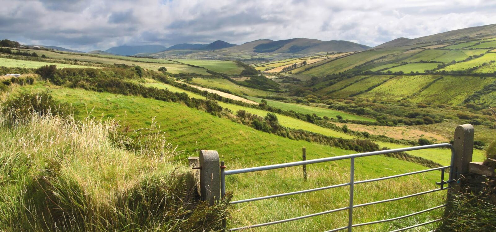
The Way follows an ascending track for a few hundred meters and suddenly descends to a tarmac road. Follow this road for 200m and as this turns into a bohreen keep following, climbing gradually. Cross a stile about 300m further along the Way and then go through a gate.
Route Images